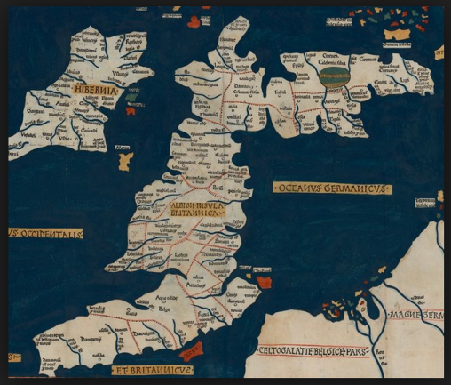
… and back to business. I found another unsolved geographical mystery here and, although there’s little chance of solving it, I thought it would be interesting to look at the various possibilities. Where was Ptolemy’s Iscalis?
Claudius Ptolemaeus wrote his Geographia in about 150AD, a compilation of information about the known world at that time, collected from various sources. A suggestion is that he had access to military maps of Roman Britain.
He provided instructions as to how maps of the world – effectively the Roman Empire – could be constructed using his geographical data, but the only maps surviving are from the late medieval period, and these present all sorts of puzzles, most arising from Ptolemy’s own geographic coordinates.
Ptolemy divided the country up according to the Celtic tribal settlements, with present-day Somerset – according to him – largely inhabited by the Belgae. Their towns were Iscalis, Aque Calide and Venta Belgarum. Venta Belgarum was Winchester, Aque Calide obviously Aquae Sulis, or Bath; but where was Iscalis?
And answers were there many, only one of which can be correct.
Ptolemy ordered his text by tribal areas starting in the north and moving south, and I think the towns of each tribe are mainly given moving from west to east. So we might conclude from Iscalis-Aque Calide-Venta Belgarum that Iscalis was to the west of Bath, as Bath is to the west of Winchester. But how far to the west? The coordinates aren’t very helpful. This will need a closer look at the map, which I’ll take next time.


You must be logged in to post a comment.